We're a privately owned company that provides expert underground utility locating and GPR services to a wide variety of customers throughout North Carolina, South Carolina, and Southern Virginia.


Northstate Utility Locating is a private family owned company founded over 20 years ago. Our consistency and integrity has earned us the loyalty of our valued customers, many of whom continue to rely on our expert services. Choose us for reliable, high-quality utility locating that prioritizes your needs and ensures the job is done right the first time. Choose us with confidence.
Utility Locating Services
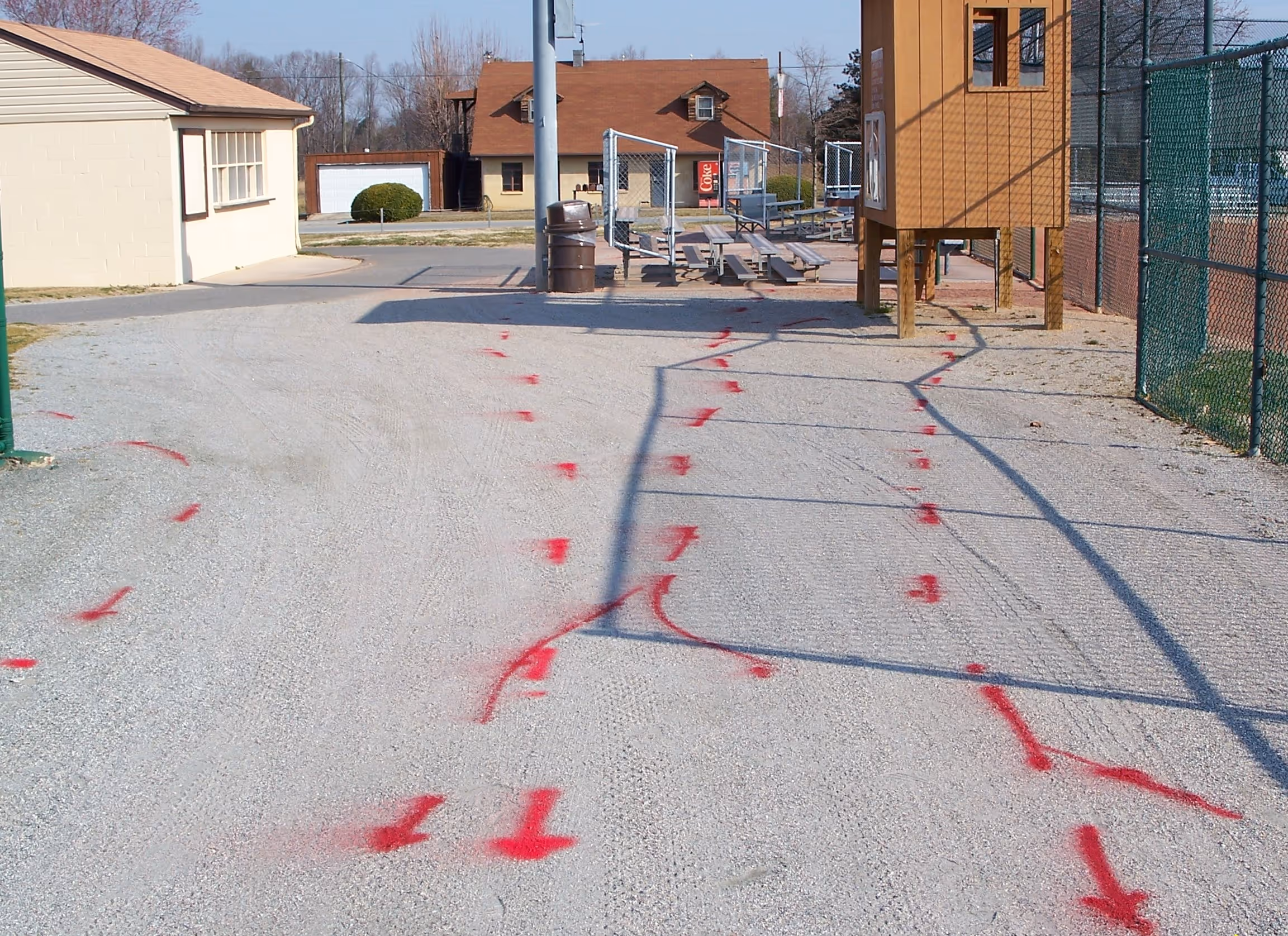
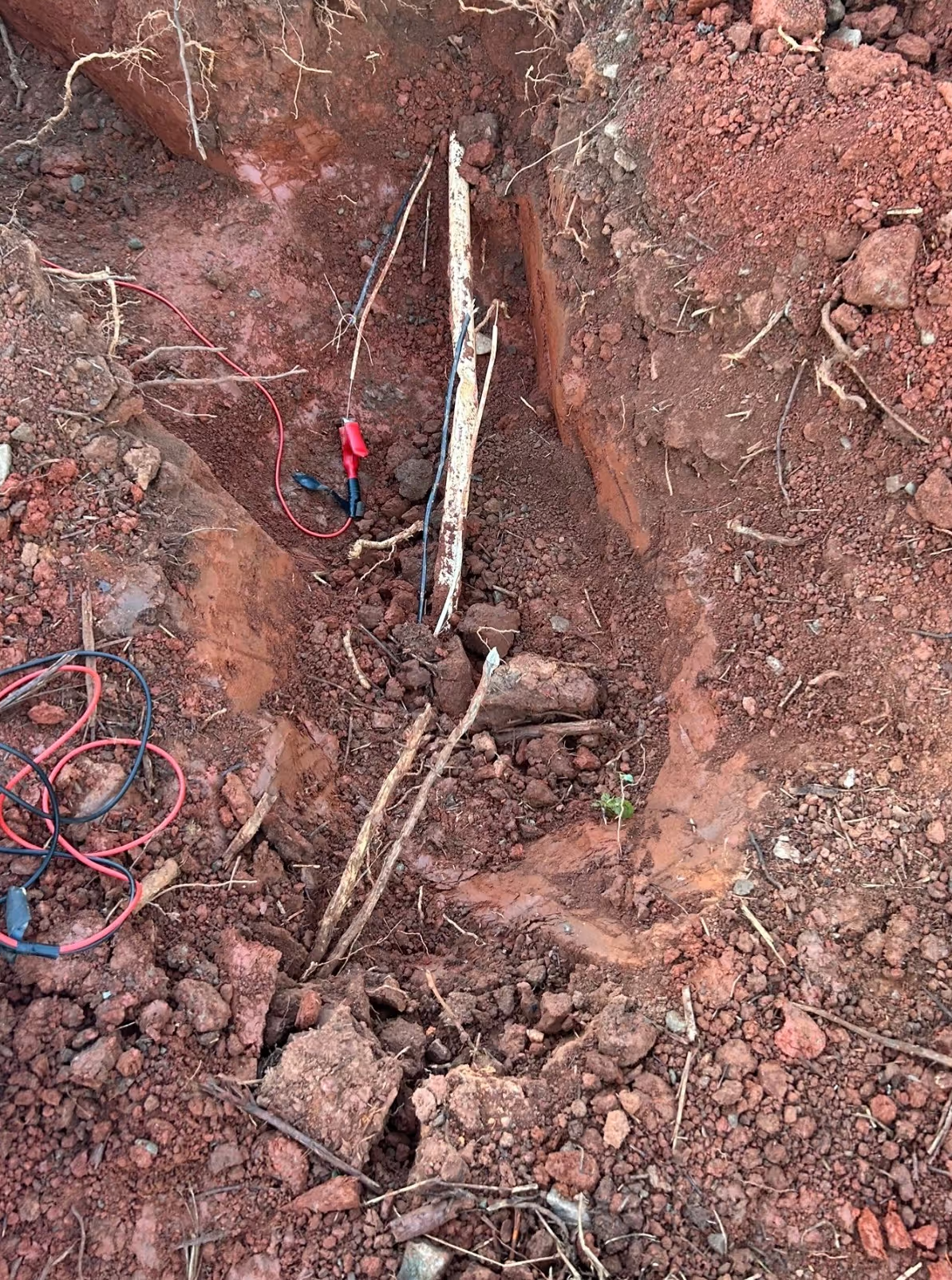
Utility locating is the process of identifying and marking the precise location of underground utilities, including gas lines, water pipes, sewer systems, electrical lines, and telecom cables for services like phone, cable, and internet. This essential service ensures safe excavation and helps prevent damage to vital infrastructure.
Ground penetrating radar (GPR)
Ground-penetrating radar is a geophysical method that uses radar pulses to image the subsurface. It is a non-intrusive method of surveying the sub-surface to detect underground pipes, cables, and underground storage tanks.

Concrete imaging
Concrete imaging is performed using a high frequency GPR system specifically developed for the detection of possible conduit or structural elements contained in concrete.

Line fault finding
Line fault finding is performed using our electromagnetic locating system to detect a precise point that an underground electrical or communication line is damaged.
GPS Mapping
GPS mapping for utility lines is a process of using high-accuracy GPS receivers and locating equipment to create precise digital maps of underground infrastructure, such as water, gas, and power lines.

Northstate Utility Locating primarily works within North Carolina, South Carolina, and the border of Tennessee, Virginia, and Georgia. For questions, quotes, or service requests use our contact form.
